-
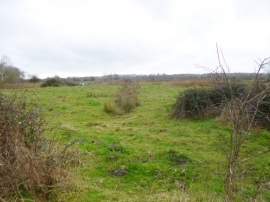
Britford, water meadows
-
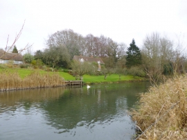
Britford, River Avon
Britford, water meadows
Britford, River Avon
Location and coordinates are for the approximate centre of Shute End Copse within this administrative area. Geographic features and populated places may cross administrative borders.