-

Elveden, lay-by
-
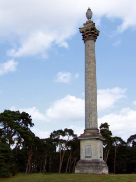
Elveden Monument
Elveden, lay-by
Elveden Monument
Location and coordinates are for the approximate centre of Shravedell Heath within this administrative area. Geographic features and populated places may cross administrative borders.