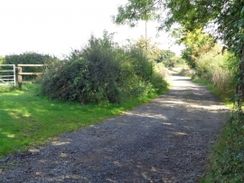
Shoots Hill Wood, Worcestershire

« Gazetteer Entry
Upload Photo

Shoots Hill Wood, Worcestershire

  • Parish/Community: Crowle
  • District/Borough: Wychavon
  • County: Worcestershire
  • Region: West Midlands
  • Category: Landcover
  • Type: Forest or Wood
  • Latitude/Longitude: 52°12'53"N 2°7'10"W
  • Eastings/Northings: 391933, 257420
  • OS Grid: SO919574
  • Mapcode Local: GBR 1G2.4Y4
  • Mapcode Global: VH92P.6LVF

Location and coordinates are for the approximate centre of Shoots Hill Wood within this administrative area. Geographic features and populated places may cross administrative borders.

BritishPlaceNames.uk is a Good Stuff website.