-
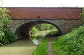
Sherne Hill Bridge No 135
-
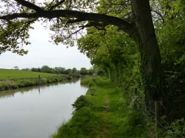
Oxford Canal towpath at Freckleton Spinney
Sherne Hill Bridge No 135
Oxford Canal towpath at Freckleton Spinney
Location and coordinates are for the approximate centre of Shirne Hill within this administrative area. Geographic features and populated places may cross administrative borders.