-

Tree in field by Pinewood
-
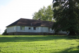
Bungalow at Pinewood
Tree in field by Pinewood
Bungalow at Pinewood
Location and coordinates are for the approximate centre of Shirke Shaw within this administrative area. Geographic features and populated places may cross administrative borders.