-
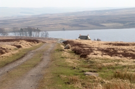
Access road for Heather Lea
-
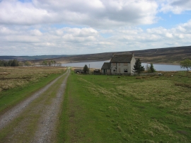
Heather Lea and Waskerley Reservoir
Access road for Heather Lea
Heather Lea and Waskerley Reservoir
Location and coordinates are for the approximate centre of Shield Green within this administrative area. Geographic features and populated places may cross administrative borders.