-
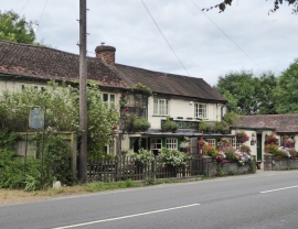
The 'Royal Standard'
-
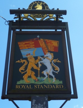
Sign at the "Royal Standard" PH
The 'Royal Standard'
Sign at the "Royal Standard" PH
Location and coordinates are for the approximate centre of Sheepcote Woods within this administrative area. Geographic features and populated places may cross administrative borders.