-
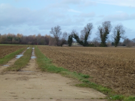
Farmland track onto Cow Pasture
-
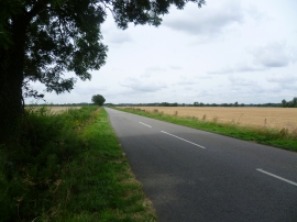
Looking along Baston Road
Farmland track onto Cow Pasture
Looking along Baston Road
Location and coordinates are for the approximate centre of Sheep Pasture within this administrative area. Geographic features and populated places may cross administrative borders.