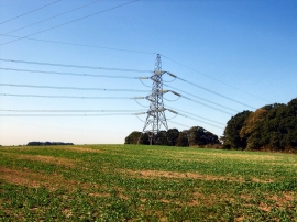
Sharp's Hanger, East Sussex

« Gazetteer Entry
Upload Photo

Sharp's Hanger, East Sussex

  • Parish/Community: Fletching
  • District/Borough: Lewes
  • County: East Sussex
  • Region: South East
  • Category: Landcover
  • Type: Forest or Wood
  • Latitude/Longitude: 50°58'0"N 0°2'46"E
  • Eastings/Northings: 543779, 120596
  • OS Grid: TQ437205
  • Mapcode Local: GBR LQ9.6HZ
  • Mapcode Global: FRA B6ZK.9TV

Location and coordinates are for the approximate centre of Sharp's Hanger within this administrative area. Geographic features and populated places may cross administrative borders.

BritishPlaceNames.uk is a Good Stuff website.