-
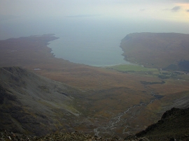
Coire na Banachdich, from Sg
-
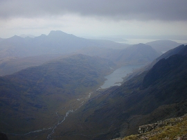
Coir'-uisg, from Sg
Coire na Banachdich, from Sg
Coir'-uisg, from Sg
Location and coordinates are for the approximate centre of Sgùrr na Banachdaich within this administrative area. Geographic features and populated places may cross administrative borders.