-
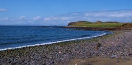
Coastal erosion at Camas Mor
-
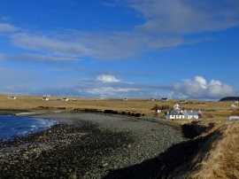
Beach and slipway at Camas Mor
Coastal erosion at Camas Mor
Beach and slipway at Camas Mor
Location and coordinates are for the approximate centre of Sgeir Lang within this administrative area. Geographic features and populated places may cross administrative borders.