-
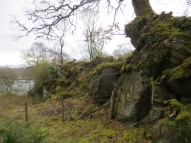
Crag, Glenborrodale
-
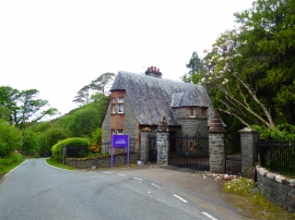
Gatehouse for Glenborrodale Castle
Crag, Glenborrodale
Gatehouse for Glenborrodale Castle
Location and coordinates are for the approximate centre of Sgeir Bhuidhe within this administrative area. Geographic features and populated places may cross administrative borders.