-
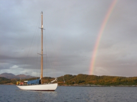
South eastern shore of Loch Ceann Traigh
-
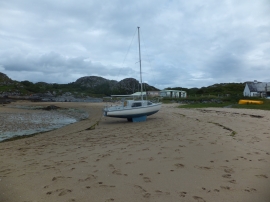
Small sandy beach
South eastern shore of Loch Ceann Traigh
Small sandy beach
Location and coordinates are for the approximate centre of Sgeir a' Chaolais within this administrative area. Geographic features and populated places may cross administrative borders.