-
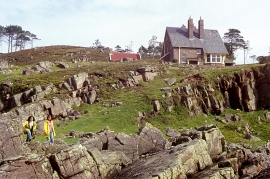
Rocky coast slope west of Gairloch, Highland
-

Carn Dearg Youth Hostel
Rocky coast slope west of Gairloch, Highland
Carn Dearg Youth Hostel
Location and coordinates are for the approximate centre of Sgeir a' Chamais Bhig within this administrative area. Geographic features and populated places may cross administrative borders.