-

Looking into Selham Copse on Blackdown
-
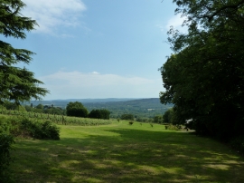
SE facing vineyard near Reeth Farm
Looking into Selham Copse on Blackdown
SE facing vineyard near Reeth Farm
Location and coordinates are for the approximate centre of Selham Copse within this administrative area. Geographic features and populated places may cross administrative borders.