-
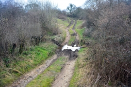
Former Ford on Seiver's Lane
-
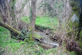
Calf Hay Farm Ford
Former Ford on Seiver's Lane
Calf Hay Farm Ford
Location and coordinates are for the approximate centre of Seiver's Copse within this administrative area. Geographic features and populated places may cross administrative borders.