-
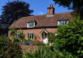
Northenby Cottages, East Woodhay, Hampshire
-
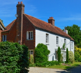
Fox House, East Woodhay, Hampshire
Northenby Cottages, East Woodhay, Hampshire
Fox House, East Woodhay, Hampshire
Location and coordinates are for the approximate centre of Scuttwell's Copse within this administrative area. Geographic features and populated places may cross administrative borders.