-
Clayhill and Scrape Bottom
-

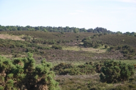
Clayhill Bottom, heathland
Clayhill and Scrape Bottom
Clayhill Bottom, heathland
Location and coordinates are for the approximate centre of Scrape Bottom within this administrative area. Geographic features and populated places may cross administrative borders.