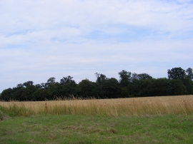
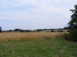
Sceet's Covert, Suffolk

« Gazetteer Entry
Upload Photo

Sceet's Covert, Suffolk

  • Parish/Community: Benhall
  • District/Borough: Suffolk Coastal
  • County: Suffolk
  • Region: Eastern
  • Category: Landcover
  • Type: Forest or Wood
  • Latitude/Longitude: 52°12'11"N 1°27'21"E
  • Eastings/Northings: 636241, 261725
  • OS Grid: TM362617
  • Mapcode Local: GBR XQB.WD1
  • Mapcode Global: VHM7N.6W0H

Location and coordinates are for the approximate centre of Sceet's Covert within this administrative area. Geographic features and populated places may cross administrative borders.

BritishPlaceNames.uk is a Good Stuff website.