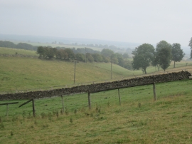
Scarrow Wood, North Yorkshire

« Gazetteer Entry
Upload Photo

Scarrow Wood, North Yorkshire

  • Parish/Community: Cold Kirby
  • District/Borough: Ryedale
  • County: North Yorkshire
  • Region: Yorkshire and the Humber
  • Category: Landcover
  • Type: Forest or Wood
  • Latitude/Longitude: 54°15'24"N 1°10'35"W
  • Eastings/Northings: 453739, 484869
  • OS Grid: SE537848
  • Mapcode Local: GBR NM76.1V
  • Mapcode Global: WHD8K.W8WL

Location and coordinates are for the approximate centre of Scarrow Wood within this administrative area. Geographic features and populated places may cross administrative borders.

BritishPlaceNames.uk is a Good Stuff website.