-

Road to Winteringham
-
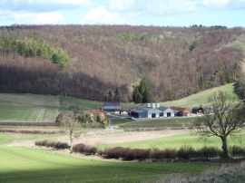
Shardale and Scar Dale
Road to Winteringham
Shardale and Scar Dale
Location and coordinates are for the approximate centre of Scardale Plantn within this administrative area. Geographic features and populated places may cross administrative borders.