-

Scaleber Pasture
-
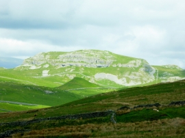
Moorland and limestone crag
Scaleber Pasture
Moorland and limestone crag
Location and coordinates are for the approximate centre of Scaleber Pasture within this administrative area. Geographic features and populated places may cross administrative borders.