-

Looking towards Shobnall from the Sinai Park estate
-
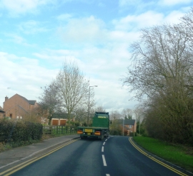
B5017 at Henhurst Farm
Looking towards Shobnall from the Sinai Park estate
B5017 at Henhurst Farm
Location and coordinates are for the approximate centre of Sandyford Dingle within this administrative area. Geographic features and populated places may cross administrative borders.