-
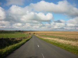
Looking west along Broad Dubb Road
-
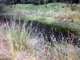
Woodland Pond
Looking west along Broad Dubb Road
Woodland Pond
Location and coordinates are for the approximate centre of Sandwith Moor within this administrative area. Geographic features and populated places may cross administrative borders.