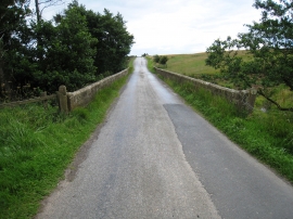
Sandwath Plantation, North Yorkshire

« Gazetteer Entry
Upload Photo

Sandwath Plantation, North Yorkshire

  • Parish/Community: Roxby
  • District/Borough: Scarborough
  • County: North Yorkshire
  • Region: Yorkshire and the Humber
  • Category: Landcover
  • Type: Forest or Wood
  • Latitude/Longitude: 54°30'42"N 0°49'37"W
  • Eastings/Northings: 476034, 513578
  • OS Grid: NZ760135
  • Mapcode Local: GBR QJN8.QF
  • Mapcode Global: WHF8J.8VCK

Location and coordinates are for the approximate centre of Sandwath Plantation within this administrative area. Geographic features and populated places may cross administrative borders.

BritishPlaceNames.uk is a Good Stuff website.