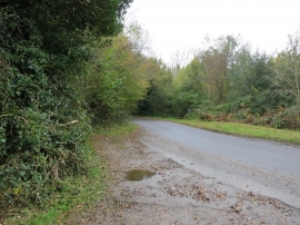
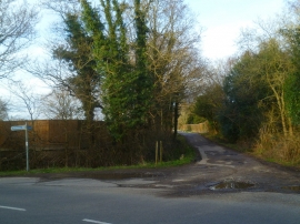
Sandwalk Copse, West Sussex

« Gazetteer Entry
Upload Photo

Sandwalk Copse, West Sussex

  • Parish/Community: Southwater
  • District/Borough: Horsham
  • County: West Sussex
  • Region: South East
  • Category: Landcover
  • Type: Forest or Wood
  • Latitude/Longitude: 51°2'13"N 0°19'56"W
  • Eastings/Northings: 517022, 127734
  • OS Grid: TQ170277
  • Mapcode Local: GBR HJV.SY4
  • Mapcode Global: FRA B66C.SF0

Location and coordinates are for the approximate centre of Sandwalk Copse within this administrative area. Geographic features and populated places may cross administrative borders.

BritishPlaceNames.uk is a Good Stuff website.