-
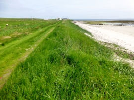
Coastal View Near Southside, Eday
-
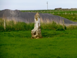
Standing stone near former quarry
Coastal View Near Southside, Eday
Standing stone near former quarry
Location and coordinates are for the approximate centre of Sands of Green within this administrative area. Geographic features and populated places may cross administrative borders.