-

Eday London Airport
-
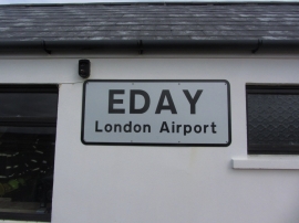
Eday; London Airport sign
Eday London Airport
Eday; London Airport sign
Location and coordinates are for the approximate centre of Sands of Doomy within this administrative area. Geographic features and populated places may cross administrative borders.