-
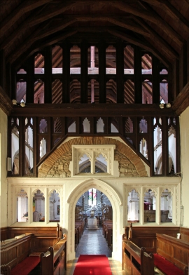
St Leonard, Sandridge - Screen
-
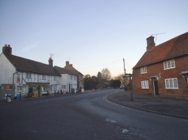
House Lane at the junction of High Street, Sandridge
St Leonard, Sandridge - Screen
House Lane at the junction of High Street, Sandridge
Other current and historical names
Location and coordinates are for the approximate centre of Sandridge within this administrative area. Geographic features and populated places may cross administrative borders.