-
The coastal path at Culver Parade, Sandown
-

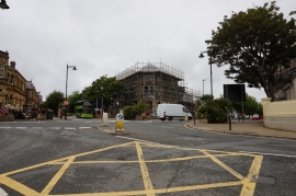
The Sandown Hotel
The coastal path at Culver Parade, Sandown
The Sandown Hotel
Other current and historical names
Location and coordinates are for the approximate centre of Sandown within this administrative area. Geographic features and populated places may cross administrative borders.