-
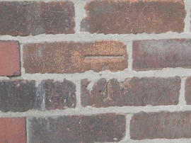
OS benchmark on the old Post Office, Sandiway
-
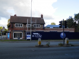
Re-Define food & wine shop, Sandiway
OS benchmark on the old Post Office, Sandiway
Re-Define food & wine shop, Sandiway
Location and coordinates are for the approximate centre of Sandiway within this administrative area. Geographic features and populated places may cross administrative borders.