-
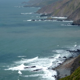
Rocky coastline north of Nabor Point, Devon
-
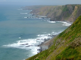
Cliffs north of South Hole, Devon
Rocky coastline north of Nabor Point, Devon
Cliffs north of South Hole, Devon
Location and coordinates are for the approximate centre of Sandhole Rock within this administrative area. Geographic features and populated places may cross administrative borders.