-
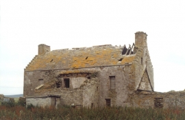
Egilsay Old Croft
-

Howan, Egilsay from the Westray Ferry
Egilsay Old Croft
Howan, Egilsay from the Westray Ferry
Location and coordinates are for the approximate centre of Sand Hamar within this administrative area. Geographic features and populated places may cross administrative borders.