-

Mountain bike heaven
-
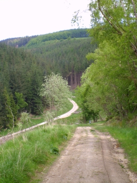
View into Sand Dale
Mountain bike heaven
View into Sand Dale
Location and coordinates are for the approximate centre of Sand Dale within this administrative area. Geographic features and populated places may cross administrative borders.