-
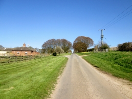
Beverley Lane passing Sancton Hill Farm
-
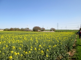
Permissive footpath to Beverley Lane
Beverley Lane passing Sancton Hill Farm
Permissive footpath to Beverley Lane
Location and coordinates are for the approximate centre of Sancton Wold within this administrative area. Geographic features and populated places may cross administrative borders.