-
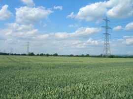
Farmland off Hag Lane
-
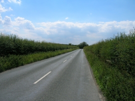
Hag Lane towards Spring Head
Farmland off Hag Lane
Hag Lane towards Spring Head
Location and coordinates are for the approximate centre of Sam Wood within this administrative area. Geographic features and populated places may cross administrative borders.