-
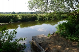
Fishing platform on the Trent
-
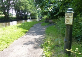
Trent & Mersey Canal Milepost near Little Haywood
Fishing platform on the Trent
Trent & Mersey Canal Milepost near Little Haywood
Location and coordinates are for the approximate centre of Salt's Plantation within this administrative area. Geographic features and populated places may cross administrative borders.