-
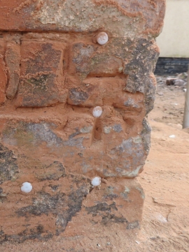
Bench mark on #63 High Street, Saltney
-
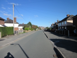
Park Avenue, Saltney
Bench mark on #63 High Street, Saltney
Park Avenue, Saltney
Location and coordinates are for the approximate centre of Saltney within this administrative area. Geographic features and populated places may cross administrative borders.