-
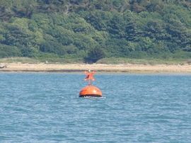
E-digital Research racing buoy and foreshore beyond
-
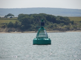
Salt Mead Starboard Channel Buoy and foreshore
E-digital Research racing buoy and foreshore beyond
Salt Mead Starboard Channel Buoy and foreshore
Location and coordinates are for the approximate centre of Saltmead Ledge within this administrative area. Geographic features and populated places may cross administrative borders.