-

Ottringham drain at Stone Creek
-
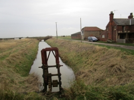
Sluice mechanism and Otteringham Drain
Ottringham drain at Stone Creek
Sluice mechanism and Otteringham Drain
Location and coordinates are for the approximate centre of Salthaugh Clough within this administrative area. Geographic features and populated places may cross administrative borders.