-
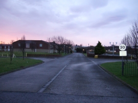
Entrance to the Tall Trees Hotel
-
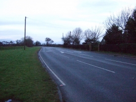
B1264 heading west
Entrance to the Tall Trees Hotel
B1264 heading west
Location and coordinates are for the approximate centre of Saltergill Plantation within this administrative area. Geographic features and populated places may cross administrative borders.