-
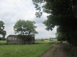
Barn to the west of Coppy Plantation
-
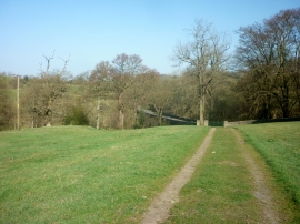
Track approaching Read Old Bridge
Barn to the west of Coppy Plantation
Track approaching Read Old Bridge
Location and coordinates are for the approximate centre of Sagar Heys Plantation within this administrative area. Geographic features and populated places may cross administrative borders.