-
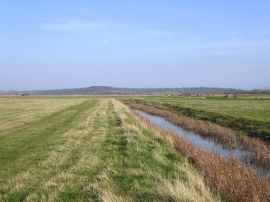
Marsh ditch, Cliffe Marshes
-
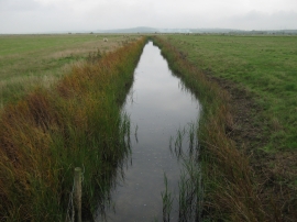
Drain in Ryestreet Common (2)
Marsh ditch, Cliffe Marshes
Drain in Ryestreet Common (2)
Location and coordinates are for the approximate centre of Ryestreet Common within this administrative area. Geographic features and populated places may cross administrative borders.