-
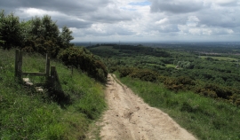
Tees Link path descending from Eston Moor
-
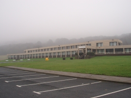
The NHS building on Flatts Lane
Tees Link path descending from Eston Moor
The NHS building on Flatts Lane
Location and coordinates are for the approximate centre of Ryehill Wood within this administrative area. Geographic features and populated places may cross administrative borders.