-
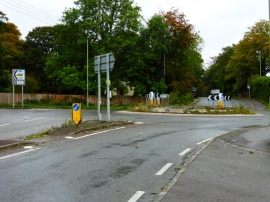
Roundabout at Rowstock
-
Rowstock Corner roundabout
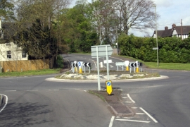
Roundabout at Rowstock
Rowstock Corner roundabout
Location and coordinates are for the approximate centre of Rowstock within this administrative area. Geographic features and populated places may cross administrative borders.