-
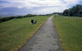
Cliff Walk at Penarth
-
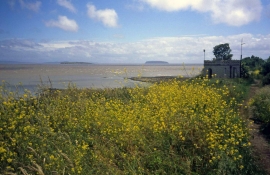
Tower at Lavernock Point
Cliff Walk at Penarth
Tower at Lavernock Point
Location and coordinates are for the approximate centre of Roundbush Rocks within this administrative area. Geographic features and populated places may cross administrative borders.