-

Water and shingle and grass
-
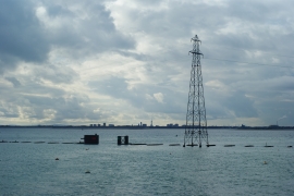
Langstone Harbour, Hampshire
Water and shingle and grass
Langstone Harbour, Hampshire
Location and coordinates are for the approximate centre of Round Nap Island within this administrative area. Geographic features and populated places may cross administrative borders.