-
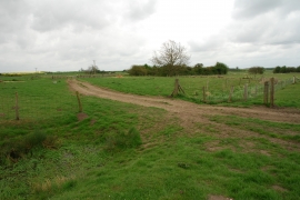
Dry Ford on Old River Bain, Roughton
-

Entering Roughton, Lincolnshire
Dry Ford on Old River Bain, Roughton
Entering Roughton, Lincolnshire
Other current and historical names
Location and coordinates are for the approximate centre of Roughton within this administrative area. Geographic features and populated places may cross administrative borders.