-
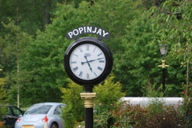
Rosebank, Popinjay hotel
-
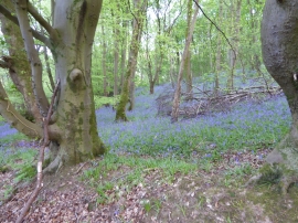
Bluebells at Clatty Brae, Rosebank
Rosebank, Popinjay hotel
Bluebells at Clatty Brae, Rosebank
Location and coordinates are for the approximate centre of Rosebank within this administrative area. Geographic features and populated places may cross administrative borders.