-
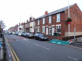
Rood End Road, Langley Green
-
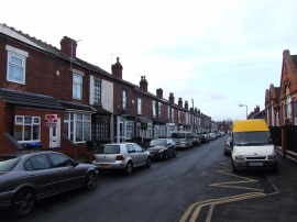
Gresham Road, Oldbury
Rood End Road, Langley Green
Gresham Road, Oldbury
Location and coordinates are for the approximate centre of Rood End within this administrative area. Geographic features and populated places may cross administrative borders.